


UAV/Drone technology is revolutionising the data and image collection of the mining and mineral exploration industry.
Are you looking to improve accuracy and efficiency of data collection on expensive and time-consuming minerals projects?
High-resolution mapping and digital terrain modelling (DTM) can be delivered quickly, at low cost, using drones for mineral exploration projects. Aerial drone LiDAR and drone geomagnetic surveys enable higher resolution and more in-depth information to be obtained.
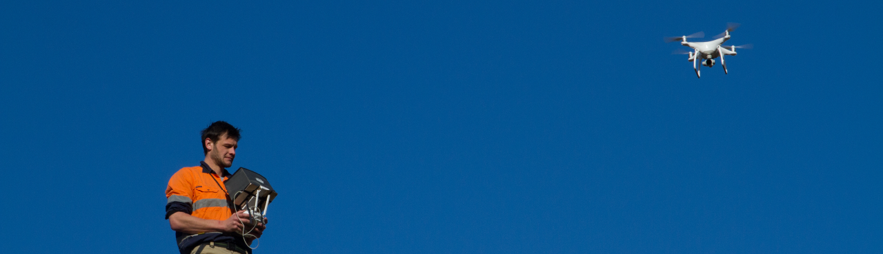
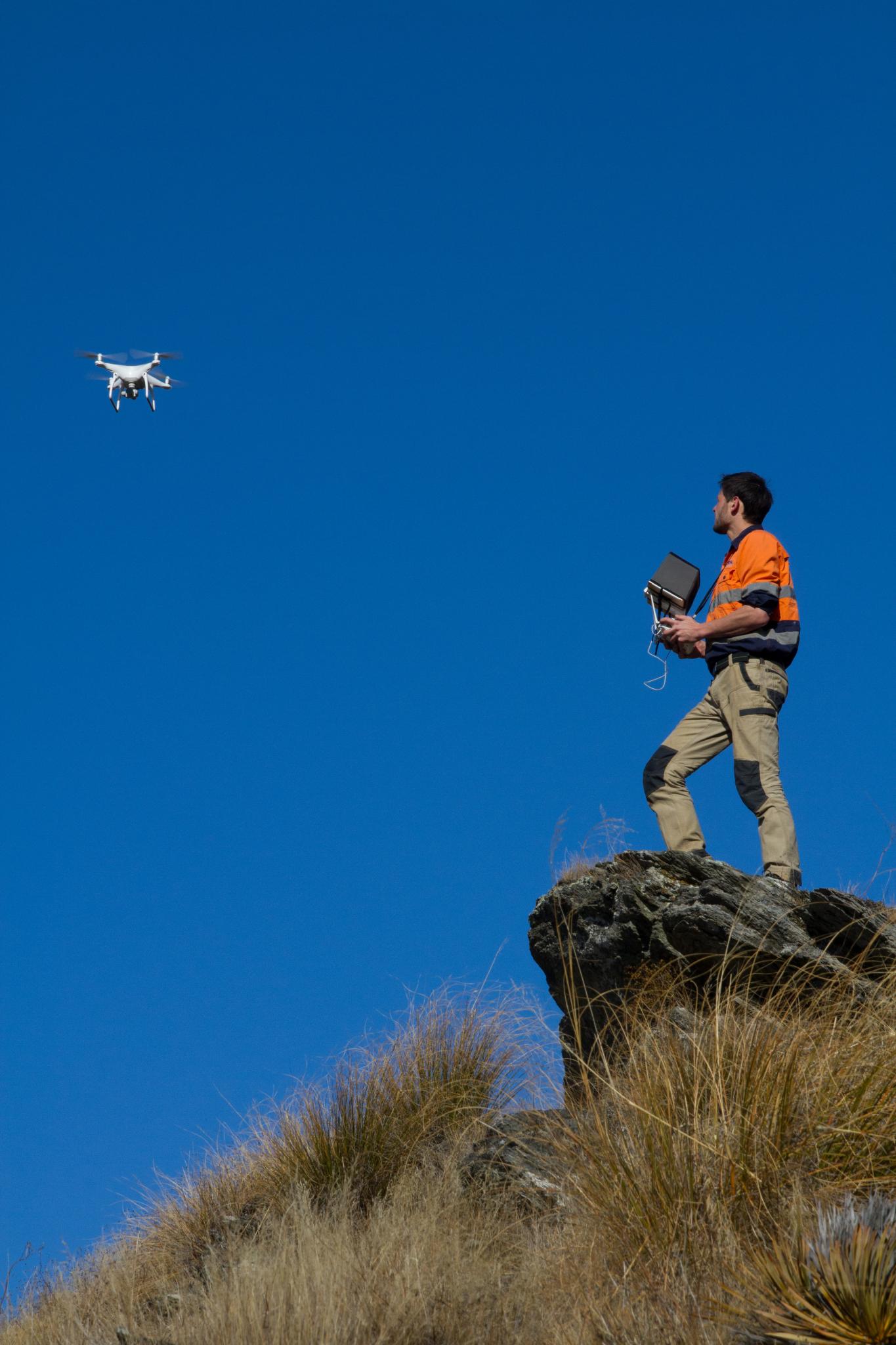
UAVs/Drones reduce risks associated with collecting data. Focus your team’s feet on the ground by deploying our range of commercial craft, equipped with sensors specific to the task at hand. Improve efficiency by operating multiple sensors simultaneously, collecting data quicker – and improving workplace health and safety by letting a drone do the work for you.
RSC’s aerial drone mapping team has the experience and know-how in remote aviation and data processing. We operate a range of craft flying in diverse environments and are confident with deploying drones, from small, quadcopter consumer drones to large, fixed-wing UAVs.
Previous and current projects deploying aerial surveying, geophysics and processing include:
- Drone mapping and modelling prospective outcrops in sub-Saharan Africa.
- Drone photogrammetry in the Western Australian desert, and the South Island of New Zealand, including sub-Alpine environments.
- Orthomosaic mapping service in the highlands of Papua New Guinea.
Our experts are here to help
Our pilots have over five years of experience using UAV instruments in mining and exploration settings, especially in remote, challenging environments. Let us guide you through interpreting aerial data, assisting with workflow generation through to the final crunch of data analytics.