
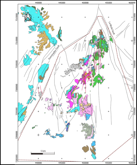
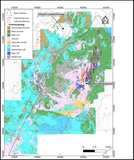
Machine-assisted geology maps
Our machine-assisted techniques allow us to significantly improve our clients’ geological maps by predicting bedrock distribution in areas previously mapped as transported overburden.
This is very useful in projects that lack outcrop, or which have sparse data coverage. Publicly available remote-sensing data, digital terrain model (DTM) and Advanced Spaceborne Thermal Emission and Reflection Radiometer (ASTER) can be combined with airborne geophysics data (magnetics and radiometrics) to provide features for bedrock prediction.
We take existing historical geology maps, add geophysics data, geochemical data and any other relevant data, apply our algorithms, and generate improved geology maps. To see a typical result of this workflow, use your mouse to slide across the map to the right.
Hood et al. (2019) describe this process in more detail.
Machine assisted mapping draped over topography, used to create 3-D digitisations of marker stratigraphy for exploration drilling.
Use your mouse to slide across the map from left to right to see how we can improve your maps.
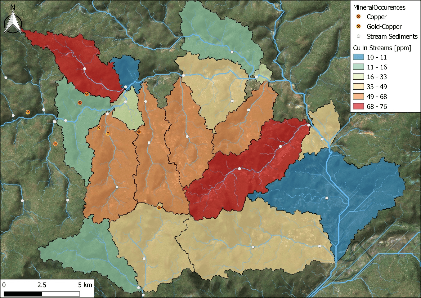
Catchment analysis
One of the basic tools for exploration planning is a Digital Terrain Model (DTM), from which contours, stream catchments and watercourses can be modelled. This information is critical to the interpretation of stream sediment samples or surface geochemical data as it allows the evaluation of downslope-dispersion and down-stream dispersion.
RSC and GoldSpot have developed an automated approach to optimally sample the calculated catchments. Using this approach, large areas can be efficiently covered with as few samples as possible, enabling faster and more cost-effective sampling programmes.
Catchments defined from 30-m resolution DTM coloured by highest Cu value in each catchment in stream sediment samples.